- Italy | 25 August 2018

MapSAT was formed last year. What is the company’s growth strategy?
As part of MapSAT’s growth strategy, we have taken several steps to expand our operations. We initiated our industrial activities in Benevento after making an offer to acquire the assets of MARSec (Mediterranean Agency for Remote Sensing and Environmental Control) as the first step of our business plan. Additionally, we have plans to open a tech lab in Rome next year and extend our offices into Lombardia. We strategically chose Campania to commence our R&D activities due to the region’s strong presence in the Earth observation segment of the market, with numerous companies participating in the Aerospace District, DAC, and research centers such as the CIRA (Italian Aerospace Research Center) in Capua. Campania also boasts a critical mass of companies utilizing satellites to provide products and services.
Furthermore, our future plans include expanding MapSAT’s technologies to encompass nano-satellite and micro-satellite data. We are currently in the process of securing a partnership with a leader in the microsatellite industry, in addition to our existing partnerships with Genegis Group, a network of Italian enterprises focused on aerial and terrestrial sensors. This vertical integration will enable MapSAT to possess optical, radar, aerial, drone, and terrestrial viewing technologies.
What is the future for nano and micro-satellite technologies?
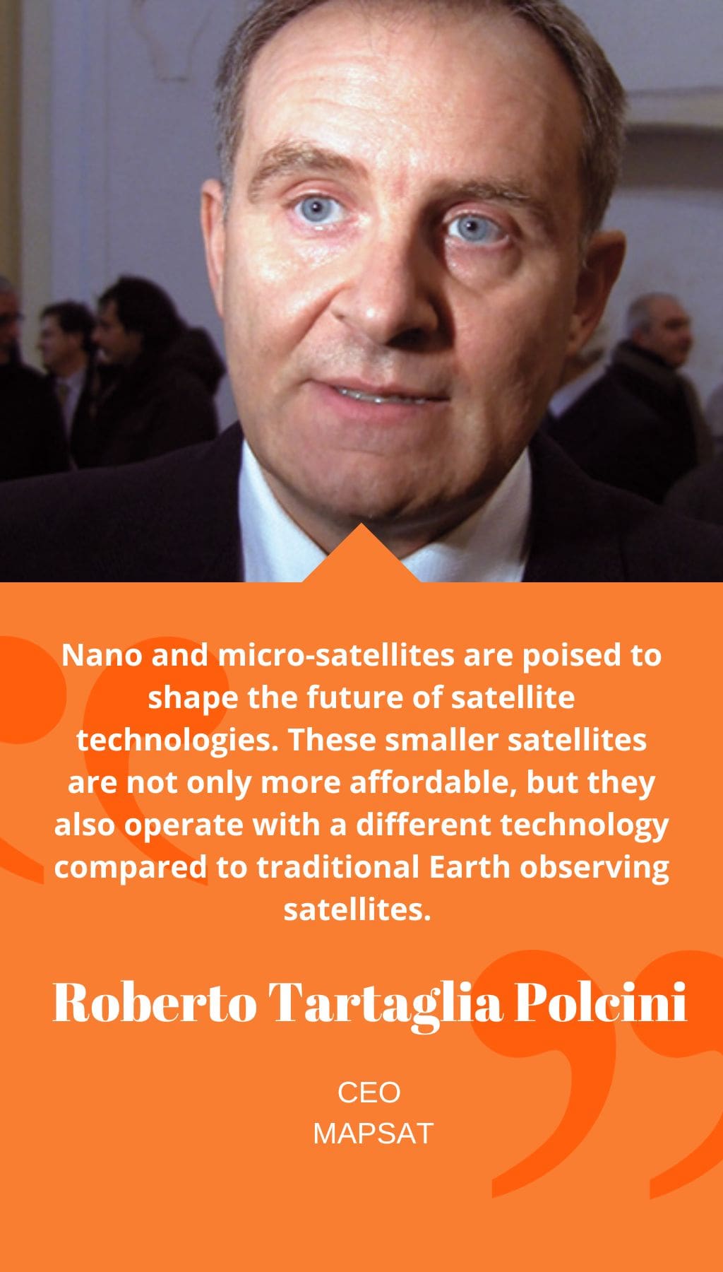
Nano and micro-satellites are poised to shape the future of satellite technologies. These smaller satellites are not only more affordable, but they also operate with a different technology compared to traditional Earth observing satellites. In the past, satellite images had to be transmitted to Earth for processing. However, with nano and micro-satellites, we can place two satellites in space, one for acquiring information and the other for processing it. This technological advancement has the potential to revolutionize the field of satellite imaging.
How did MapSAT establish a relationship with Israel’s EROS B Satellite?
MapSAT has a special relationship with ImageSat International (ISI), the Israeli company that is the commercial provider of high-resolution satellite earth-imagery collected by its Earth Remote Observation Satellites (EROS). MapSAT’s footprint of the EROS B satellite covers Europe, North Africa, and parts of the Middle East, although the coverage is in a non-linear circle due to political reasons. We work with civil and military entities and participate in various R&D projects to provide images and value-added products and services in critical areas in the Mediterranean Sea and other parts of the world. The optical data we receive from EROS B is in panchromatic mode with very high resolution (70 cm), but MapSAT specializes in the pan-sharpening technique, which involves artificially colorizing the images.
Could you highlight a few of MapSAT’s key partnerships?
Alongside our strategic relationship with ISI, MapSAT has established partnerships with other key players in the Midstream and Upstream EO market. This includes BlackBridge, owned by PlanetLab, which provides data from a constellation of satellites (RapidEye) in multi-spectral, medium resolution. This data is crucial for monitoring the environment. Additionally, we have signed a partnership with RBC Signals earlier this year to participate in their network of ground stations, further expanding our capabilities and reach.
What is the importance of Earth-observation imaging for security and defense?
The future of Earth-observation lies in utilizing an integrated chain of technology for data collection. MapSAT leverages multiple sources of data, including the EROS B satellite, aerial technologies, UAVs, and terrain sensors, to offer comprehensive and smart solutions to our clients.


