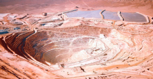
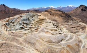
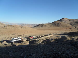
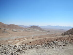
Certainly! IPTSAT was originally founded in 1987, and our initial operations revolved around Geographic Information Systems (GIS) to assist the government in monitoring and managing changes in urban centers and the environment. At that time, remote sensing technology was in its infancy, with NASA just starting to deploy its first tracking and data relay satellites. As time went on, we expanded our services to support public institutions, the government, and the military in better understanding territories through our earth observation technologies. Our primary focus was on transforming raw data into usable information, which remains a core characteristic of our company to this day. Today, we have the capability to use satellites to observe vast territories and analyze various factors, such as air, water, and land pollution levels, chlorophyll synthesis in forests, and even illegal activities like unlawful building construction.
Certainly! Approximately 50% of our business comes from public tenders, with European and national government entities, as well as public administration entities, comprising our largest customer base. We also have contracts with research centers, accounting for around 10% to 15% of our business, usually involving requests for satellite data and maps or contracting us to help them understand and transform data into easily understandable information. The remaining 35% to 40% of our customers are in the private sector.
Two years ago, we initiated a project to map ‘no-fly zones’ in Italy specifically for Unmanned Aerial Vehicles (UAVs). Although UAVs are not as popular in Italy as in the USA or France, they are still a growing market. However, their use is heavily regulated due to concerns about public safety, and there are certain areas, such as the Colosseum in Rome, where they are not permitted to fly. Citizens are often unaware of these regulations and are frequently subjected to fines. To address this issue, we decided to simplify the complex rules and make them easily accessible through an interactive platform. Users can select their location and find out about local regulations for flying drones without having to download and search through large files. Within five months of launching the project, we had received 500 website subscriptions, and two years later, we have over 2,000 subscribers. We currently receive an average of 40 new subscriptions every month.
Currently, only 5% to 6% of our total revenue comes from customers outside Italy. We started selling our services across Europe two years ago, thanks to an agricultural project under the framework of Horizon 2020, which is a European Union instrument dedicated to innovation in SMEs. As a small company with only ten employees, it is challenging for us to compete with other companies in Europe, especially those from Germany and France. Therefore, collaborating with national and international associations like the Institute for Applied Remote Sensing (EURAC), the European Association of Remote Sensing Companies (EARSC), and Lazio Connect is crucial for us in terms of visibility, references, and support in our work. We are particularly pleased to work with Lazio Connect, where I serve as the acting President. Lazio Connect connects us with 42 other members from universities, research centers, and SMEs in the Lazio region. In Italy, each region has different capabilities and uses diverse models to define a cluster.